GUY HAZELL
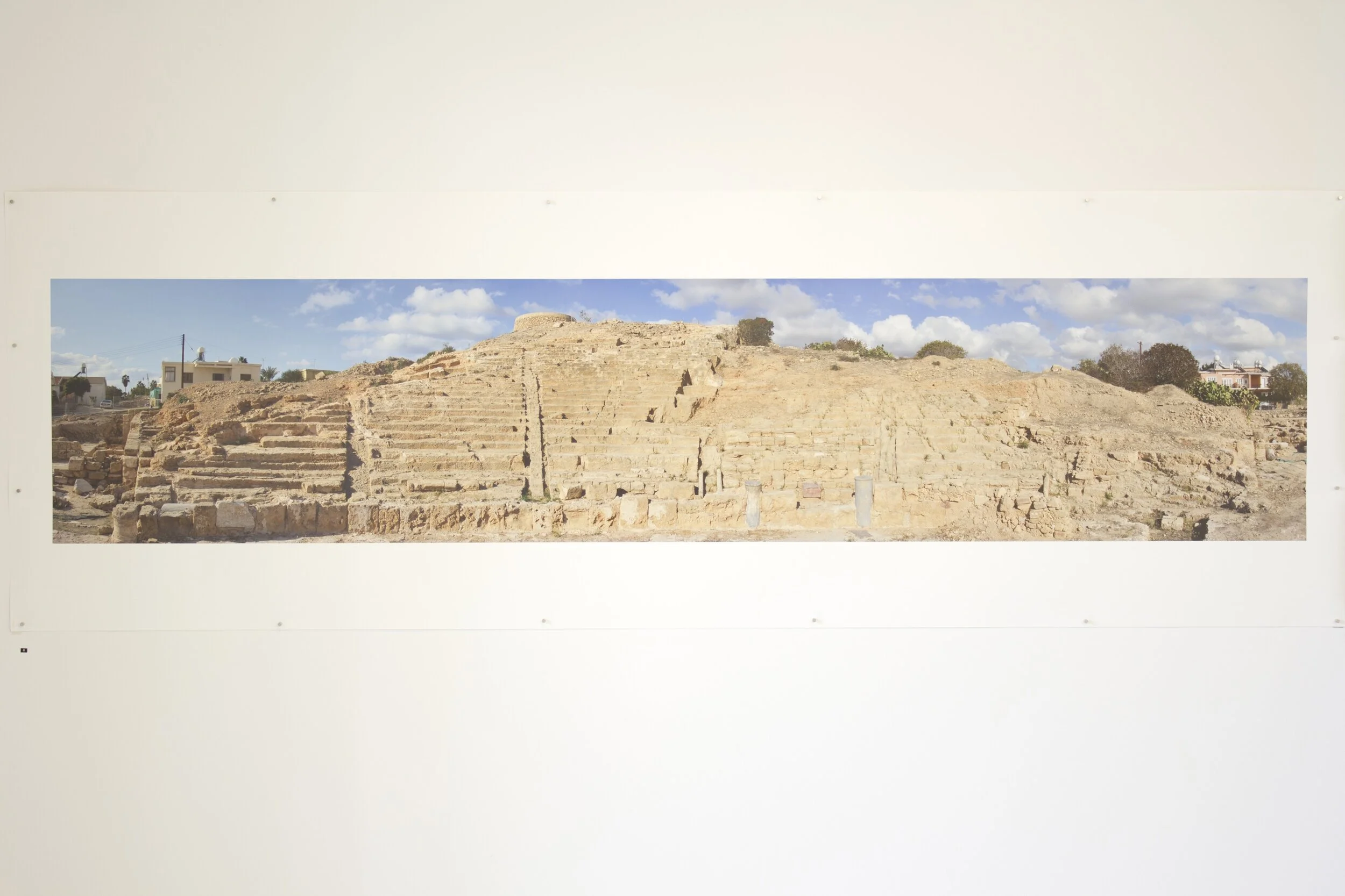
Installation photograph of work by Guy Hazell, from the exhibition Travellers from Australia, exhibited at the Pailia Ilektriki, Ktima Pafos, Cyprus, 2-15 October, as part of the official program of the Pafos2017 European Capital of Culture. Photo: Shelley Webster 2017.


Artist Statement
Guy Hazell has always been interested in what can be seen through the lens and spent his 20s travelling the world photographing what he saw. Eventually this love of the lens and film lead him to open an Art-house video and DVD store specialising in foreign language and independent cinema. In the 1980s he started his own video distribution label releasing such films as: Jean Cocteau’s La Belle et La Bête and Orphée, Jean Renoir’s La Règle du Jeu, Luis Buñuel’s Un Chien Andalou and Pasolini’s version of Euripides’ Medea. In 2008 Guy decided to change direction and re-train his love of the lens to become an archaeological surveyor. Guy became involved with archaeology and the Pafos theatre project initially through his involvement with the video documentation undertaken at the site and more recently as the site surveyor.
Hazell uses his surveying expertise exclusively for archaeological excavations and has worked at sites in Iran, Iraq, Jordan, UAE, Flores and Sulawesi in Indonesia, Australia and Pafos, Cyprus. In Sydney, Hazell works for several archaeological consulting firms providing them with survey data and plans. Since 2014 he has been exploring the potential of new technologies applied to the archaeological process including ground penetrating radar, spatial analysis and photogrammetry. Photogrammetry is fast becoming an archaeologist’s dream tool.
Using a combination of surveying techniques and pole photography, Hazell is able to produce geo-referenced photogrammetry or orthophotos of a site or feature that reproduce an accurate image in plan or section. The orthophoto of the ancient theatre of Nea Pafos gives an exact orthogonal high resolution representation of the theatre from above without distortion. Thousands of digital images are taken then processed in Agisoft software where a point cloud is created and Hazell uses his surveyed reference points to enable him to geo-reference the point cloud. As the theatre and its surrounds continues to be excavated, more is revealed and these new findings can be added to the orthophoto. The orthophoto can accurately represent the extant theatre and is used as a tool for documenting, planning and analysis.